Wilder by Far

A look at life with the Wilder family. Updated most weekends and some vacation days. You can contact me at movingnorth@gmail.com..

My Photo
Name:
Location: United States

Wednesday, September 27, 2006

"It's lonely being a cannibal. Tough making friends." - Col. Hart, Ravenous


There's a bear, I swear, over there. I swear, I swear, the bear is there. By there, I guess I mean six pixels by six pixels. You can click on it for larger picture goodness (as you can with any picture on the site), but, honestly that won't help.

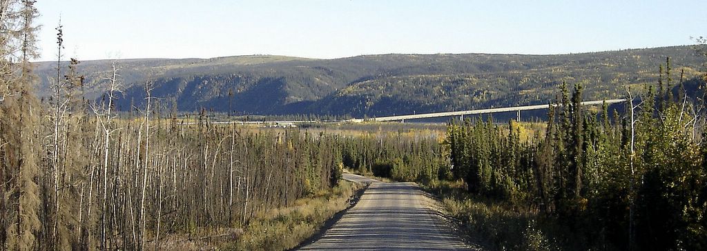
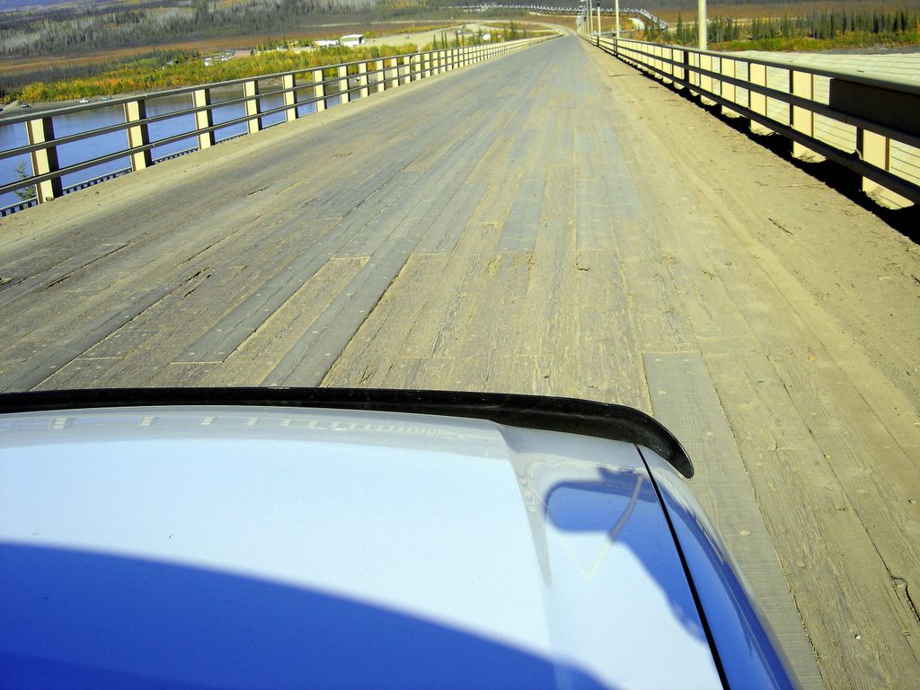
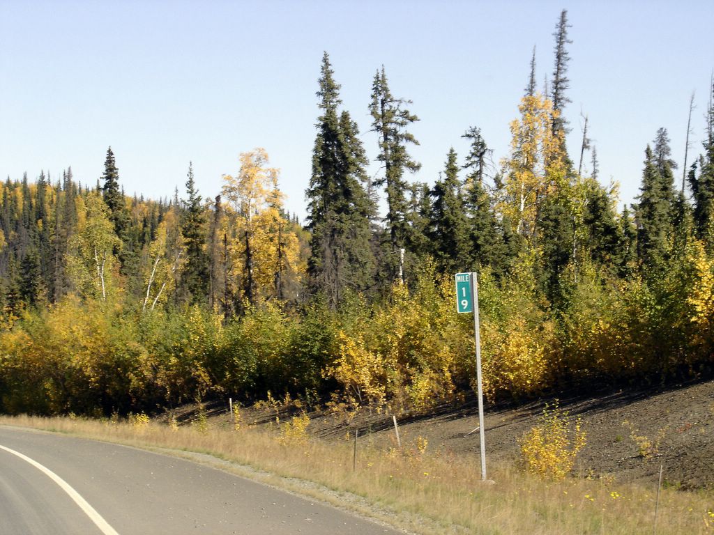
The first thing I noticed about the roads into Denali was that they were really good roads, paved, even. We drove into the park and ended up at a bridge. A nice (very young, like 12) Park Rangerette stopped the car in front of us. They didn’t have a permit, but they were short, gray-haired drivers who I’m thinking were trying to sneak into the park. The Park Rangerette politely told them to turn around, or she would pull her Rangerette Taser and really give them something to remember the park by.

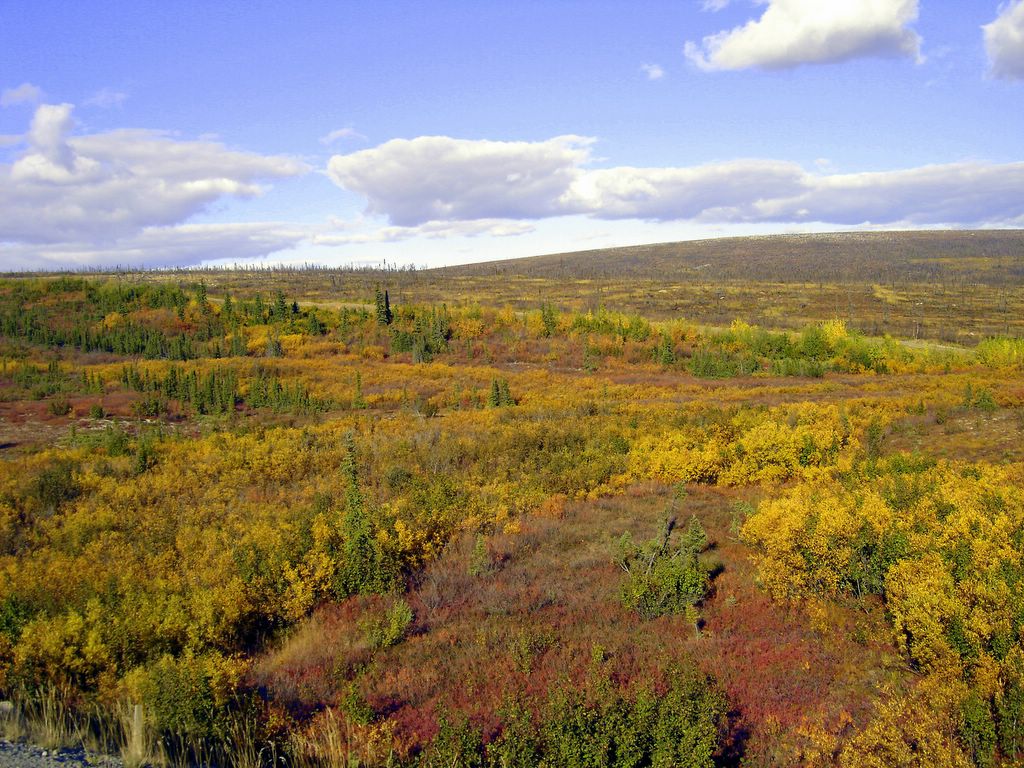
The Boy and I, having the proper papers, made it through Checkpoint Charlie with the polite admonition that we should drive slowly (less than 45MPH) and keep our lights out, or she would pull her Rangerette Taser and make me jump around like grease on a McDonald’s grill. I drove slowly out of sight, then put the pedal down and cruised on the good roads until I saw a cluster of vehicles all staring off to the north. Far, far in the distance, I saw a grizzly bear cavorting next to a stream. At least it looked like that from where I was sitting, 600,000 thousand yards away. For all I know it was a sweaty young Park Rangerette cavorting in a bear suit for the amusement of the tourists, sort of like the animatronics at Disney, you know, where Lincoln says, “Welcome to the Hall of Presidents . . .” even though you and I both know that Lincoln is living in a grass bungalow in Tahiti with Joe Montana.


Something pretty for tonight's post. Yawn.

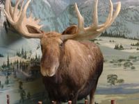
The road was dotted on either side by signs indicating that moose were mating in the area. The signs further indicated that you shouldn’t leave the road in those areas. I’m thinking that maybe the bull moose are like really sloppy drunks, and would hit on you if you got out. Perhaps the moose were just a bit shy, and this was the equivalent of pulling the blinds by the side of the road so they might get in the mood, since moose would otherwise worry about pictures of them mating ending up on the Internet, kind of like fuzzy Paris Hilton videos, but with moose. Well, maybe exactly like Paris Hilton videos.


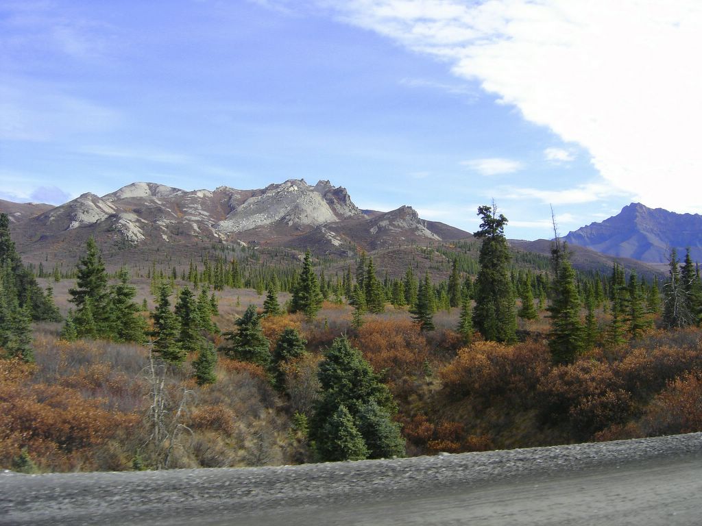
If Clint Eastwood were a mountain, he'd be this one. But I didn't see the slope vibrating like his temple does, so it's probably not him.

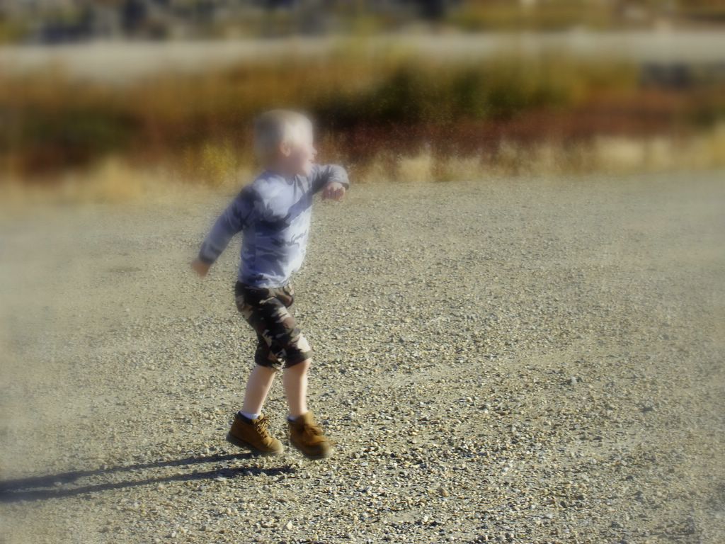
The Boy at this point became fixated with the idea of snow. He seemed to think that our Explorer would make it up the mountain to the point where we could cavort like Park Rangerettes in bear suits in frosty goodness. I gently told him, “No way we’re getting to play in the snow today.”

After a minor bout of faux crying, The Boy consoled me and we continued on. We were beginning to feel a bit hungry so we grabbed the bag of snacks out of the back seat and began to graze. The Boy pulled an Alaska Jack’s Alaskan Hunterstick, which is like a jerky-sausage thingy. Think Slim Jims with an Alaskan label.

The Boy: “What’s this?”

John Wilder: “Meat.”

The Boy, looking at the label, which has a gray-haired, bearded man wearing a flannel shirt: “Human?”

John Wilder: “No.”

(I swear this really happened.)

Next: Slow Rangerettes, Steep Roads, and Zen

Note: It may be a week or three before I can post again – another big expedition. I know that many of you might pine for me to return, but we’re not done with Denali yet. Does it make me a bad man to tease this way?

Sunday, September 24, 2006

"All our hopes now lie with two little hobbits, somewhere in the wilderness." - Gandalf, The Two Towers


Is it just me, or does this center look more moderness than wilderness?

It started out like a normal expedition. Our steed was ready for the long trip, and The Boy was chomping at the bit. As I did my traditional early-weekend morning snooze while The Boy ate Sugar Frosted Chocolate Bombs, I opened my eyes. In my entire field of view was The Boy’s face.

“Are we going to Denali?”

“Mferewrmwrth.”

The Boy took that as a yes, and began packing his motion sensors, monocular, long range microphone, and his pet dog, Scooby.


A road in Denali National Park. Ohhhh, ahhhhh.

About the time The Boy was ready, The Mrs. got up. We had purchased lunches and other sundry food items for the trip, and I asked her if she was ready to go.

The Mrs.: “John, I have to go to work tonight. If we go to Denali, we won’t be home until midnight, and, frankly, I don’t want to work until 2:00 AM teaching wolverines how to dig burrows.”

Me: It won’t take that long.

The Mrs.: Knowing look.

I realized then and there that The Mrs. wasn’t going. That left The Boy and I. We decided to go anyway, and were off on our next expedition: Denali.

Okay, okay, it’s not really and expedition. Every year the folks at the National Park Service set aside one weekend where yokels like The Boy and I can drive our vehicles up and into Denali National Park. I entered this year ($10 fee) and won, so on that one weekend, we could go. It hurt my case that on the previous weekends I’d taken The Mrs. up to the Arctic Circle and down to the subtropics (long story) so she was a bit less than enthusiastic about loading up the entire family into the Wildermobile and scooting halfway across Alaska on a Sunday when she could sit home and watch the NFL.

I understood. But I was going.


Whenever I see a pretty mountain like this, I just can't help but wonder what's in it. Maybe we could dig and find out? Yeah. I like that.

The Boy and I got in the car, and off we went. We made great time, and finally reached the Denali National Park entrance. Signs were helpfully posted to take us to the “Wilderness Access Center.” Now, when you’re surrounded by wilderness, it is surely the sign of government that they’ve gotta put up a big building to tell you when and how you can get there, but, it is government. In addition to the $10 lottery fee, I had to shell out $45 in other fees (hurting the bears’ feelings fee, driving an SUV fee, adding CO2 to the atmosphere fee) to gain a permit to access the park. The Boy and I paid (actually, I paid, he’s a bit of a deadbeat at this stage) and into the park we went . . . what would we see there?


Next: Lions and Tigers and Bears . . . oh my!

Wednesday, September 20, 2006

"It's not the years, honey, it's the mileage." - Indiana Jones, Raiders of the Lost Ark


All the pictures have bigger, chewy, picturey goodness if you click on 'em. This one is the standard tourist shot, except for the Bermuda Shorts and black socks.

Up the road we continued, seeing the same pipe and the same tundra for miles and miles. The tundra itself is a very thin layer of usable soil, while underneath is a biological wasteland devoid of life. I imagine this is much like the surface of Keanu Reeves’ brain.

We finally, after traversing Beaver Slide, made it to . . . The Arctic Circle. Inexplicably, the road is again paved at about this point, marking the first paving in about seventy miles of road.

Most tourists take a picture of the front of the sign. We did, too. We also took a picture of the back of the sign. Seems like you should not allow certain people to have spray paint, but, what the heck. They didn’t mess with the front, so we could get a nice picture.


Even the vandals in Alaska are nice.

Most people stopped, got out, took a picture and left. Probably a good idea. I don’t think basking in the circleness of the Arctic makes you smarter or anything, even though the Arctic Circle line is moving about 45 feet (57 meters) a year to the north. It’s really a case of been there, done that. I emptied the gas can that I’d brought into the tank again, lamenting (slightly) that I’d brought a vehicle that had 137,000 some-odd miles on it. I reassured myself that I’d only have to push it halfway home, since each hill has another side, right?

We stopped at the Hot Spot Café on our way back home. Any other place in the world, the Hot Spot would be known as “three construction trailers.” In Alaska, it’s an outpost of civilization.

Think about it . . . the Hot Spot doesn’t have electricity from a utility, there’s no phone, there’s no mail delivery, and the credit card that I used may not be billed for some time, since they used one of those old-time card imprint machines to make the slip.

The Mrs. was looking at buying a shirt. The Hot Spot Café logo is . . . a naked girl in a coffee cup. I didn’t know that The Mrs. would approve of such a purchase, yet here she was buying a shirt with a nude chick on it. Hmm. Here’s what it looks like:


Okay, perhaps I made this out to be bigger than it was. But, women, coffee, and burgers. Is that heaven or what?

As you can see I bought the hat pin version. The Mrs., after seeing that she would be advertising unclothed women was a bit aghast, and put the shirt back on the shelf, like she had touched a lizard. I noticed that the shirt was stacked right under rack of sling shots with the Hot Spot logo right in the center of some silky material. In actuality, The Mrs. informed me that those weren’t sling shots, but thong underwear. I decided not to buy a pair because I thought they weren’t in my color.


Even bears like the Hot Spot.

I wanted to buy gas at the Hot Spot, but apparently the pump had been broken since Nixon was president, and they sent me down the road a half a mile to where the pumps were working. On the way I mused about what life would be like on the Yukon. The Mrs. indicated that I would die, lacking the Internet.

I bought gas on the banks of the Yukon at $3.79, only $1.00 more than in Fairbanks. The couple in front of us bought 220 gallons for their boat. I remarked that was a lot of gas, but The Mrs. pointed out that running out of gas on the Yukon River might be a bad idea, what with the starving to death and all.


If Indiana Jones had a boat, it would look just like this, and be right where this one is.

The bridge over the Yukon is steeper than I had first thought. He’s a snapshot.


Dangerous when icy, perhaps?

On the way home I ran into some folks that had thrown a tire. I stopped to help and saw an acquaintance helping out, so I lent my jack. Turns out my acquaintance had just stopped to help some people he didn’t know. Fairbanks is like that.

Finally, home. Cold beer.

Been there.

Done that.


The mud from the Haul Road covered the Wildermobile in a fine dirt patina, about a quarter-inch thick. If I did this trip a few more times, I could have a really dirty car.

Sunday, September 17, 2006

"Ward, I'm very worried about the Beaver." - June Cleaver, "Leave it to Beaver"


I know it doesn't look especially finger-y, but this is Finger Rock, at Finger Mountain. From another view, it looks much more finger-esque, but that photo wasn't as good. I know that's like showing you a picture I took of Mt. Rushmore from inside Lincoln's nose, but, hey, you get what you pay for.

As we drove farther north, on the right I saw a rock that looked like a finger, jutting proudly out of the ground, as if some gigantic stone megalith man was attempting to free himself from the millions of tons of earth smothering him. It reminded me of what Mel Gibson feels his career is like right now.

We stopped a mile down the road at . . . Finger Mountain. In the rest of the free world, Finger Mountain would be a good excuse to put in a gravel pit, crunch up some rocks, and continue mankind’s attempt to pave the planet. At Finger Mountain, it was a good place to put some bathrooms and a few placards. The first placard described a local herb that grows in the tundra. Said herb makes a tasty tea, with the unfortunate side effect that it contains an incredibly powerful laxative. Where are the junior high kids when you need them?


This plant probably allowed many a native Alaskan to play some wicked practical jokes on explorers. "Tea, sure, we've got tea." Snicker.

The best part about Finger Mountain is that it allowed us to get up and walk around a bit. We had begun to contour our bodies to fit the seats in the vehicle, and getting out and stretching felt good. For a five-year-old who’s normally extraordinarily active to be placed in a car and see . . . yet another batch of scraggly trees, well, Finger Mountain was good for The Boy’s soul. When’s the last time you were so happy you danced?


The distortion field is on again. Did nobody ever tell The Boy to not mix his camo patterns?

Looking north from Finger Mountain, the pipeline and the road stretched off into the distance, toward Prudhoe Bay and the sweet, sweet oil. If you look at the pipeline from the air, you’ll see that as the road curves up and around it again and again it makes endless $ patterns, like the one you see here. It also makes endless $ for Alaskans. I think that maybe a secret cabal designed this. It surely couldn’t be . . . coincidence.


Where money and oil intersect . . . oh, wait, that's always. These are just road intersections with a pipeline.

As I said before, most of Finger Mountain would be gravel in your state, and, frankly I can’t why that’s not a bad idea here, as well. I think if we keep digging, we’d find that the Earth is made of . . . rocks. Most of ‘em just like these.


That's the problem with Alaska. Have a random pile of rocks? Make it part of a national park.

As we closed in on the Arctic Circle, lots of things went through my mind, but the continually repeating one is that we were nearly 200 miles from the nearest spare auto parts and wrecker, and I’m driving a car that I maintained. The road continued to be good, and aside from the few times that I hit washboarding so bad that my car was essentially no longer rolling but bouncing from the tops of these (not so good for steering control) I’ve got to say that the road was far better than I’d expected.

Also, there were occasional signs to lighten the mood in the car:


Yeah, the sign really says that. No trees around here, either. Beavers musta got 'em. Either that or Meryl Streep clear cut the tundra.

NEXT: The Arctic Circle and Home Again

Wednesday, September 13, 2006

"Captain Picard to the bridge. We've got a problem with the warp core or the phase inducers or some other damn thing." - Geordi, Star Trek TNG


Sign, sign, everywhere a sign. But this one is cool. All of the pictures get bigger if you click on them. It's magic.

As I said when last we were chatting, the view of the bridge over the mighty Yukon (as in, “Yukon, Ho!” which was finally replaced by the more mundane “Life in Alaska” because I didn’t want people to think I ran a string of women with tight parkas and loose morals) was refreshing. After seeing miles and miles of wonderful trees and panoramic mountain vistas, I was really in the mood to see a big hunk of steel sitting on concrete.

The name “Yukon” refers to either “great river” in a native Alaskan language, Gwich’in or the University of Connecticut.” The river’s basketball team sucks, but I still like it better than UConn. I digress. The bridge is known as the E. L. Patton bridge, which makes me think of George C. Scott in a Zorro mask . . . el Patton: “Ah, Señor Rommel, mí casa es sú casa, eh?”


I'm ever so glad that there aren't termites in Alaska. The water looked cold. And deep.

The bridge itself is composed of concrete, steel and . . . wood. Now many of you recognize the great affinity that I have for cutting, hauling, and burning wood. As a bridge deck when you’re above a big, deep, cold river? Well, if the trucks can make it, I guessed we could.

The Boy was in a state of excitement. A big river, a big bridge, and lots of trucks. What’s not to like?


Looking east on the Yukon. I think that there are fish in water, which is why I prefer beer.

The biggest settlement we would see all day is on the north side of the Yukon. I’ll give more info on that in a later post. Let’s just say it involves naked women living in champagne glasses. How’s that for a teaser?

Pulling about five miles north of the bridge, there’s Five Mile Airport. It’s owned by Alyeska, the folks that run the Trans-Alaska Pipeline. As far as airports go, this one is unique. Landing a plane requires that the Dalton Highway be shut down. The Dalton runs right by the strip, and I could have gotten all the light bulbs I’d ever need if we had stopped. Unfortunately none of my light fixtures are “airport” rated.

The terrain changes as you go farther north, trees becoming scarcer as the Arctic Circle comes nearer. The terrain has a stark, barren beauty, like New Mexico or Meryl Streep. You can tell that the weather pushes to harsh extremes. You can tell that there’s no beer store close.


If Meryl Streep were a landscape, I think she'd look like this.

Next: Finger Rock and Farther North

Sunday, September 10, 2006

"I don't want to live in a pipe, buttmunch!" - Beavis, Beavis and Butthead


Ho-Hum. More Alaska landscapes. Click (if you dare) to enlarge.

During our few, blessed miles of pavement, there was a scenic overlook, complete with those steel thingys that the Committee of Old School Teachers (COST) puts information on that only a school teacher would be interested in, and then, only if it was in their subject. Things like, “Cortez discovered he had hemorrhoids at this location in 1522. Amazing!”

In typical Alaska-fashion, these steel sign holders were blank, the signs either removed to patch a camper shell, or, more likely, were never installed. Well, not entirely blank. Someone named Rachel Lovelace was there on Aug. 29, 2006. Likewise, someone had left very good instructions on the steel surface in pencil:


The other thing about the Haul Road is that there are very few bathrooms. By bathrooms, I mean bathrooms with doors. As to other bathrooms, well, there’s 416 miles of them, 832 if you count both sides of the road.

As you drive up the road, you can’t help but notice that something’s following you. It’s the Trans-Alaska Pipeline. It’s sneaky the way it meanders up and down the hills, sometimes poking underground for a while. I guess that’s okay. Pipe can be sneaky if it wants to be, especially if it’s carrying sweet, sweet oil. But it’s still boring. Pipe is just a fancy hole.

The other things following you are trucks and other rubberneckers explorers. A group of us got caught by construction on the road and had to wait about twenty minutes for the road to re-open so we could follow the pilot car through. It was there that we encountered the first flat. It wasn’t ours, but rather a fellow gawker explorer. He waved off our offer of help, and continued spinning lug nuts on his Toyota pickup. Since he was in full view while we were waiting for the construction to let us through, I can tell you that NASCAR is not looking for his application, at least based on how long it took for him to change the tire. Watching the Pipe was more exciting.

Driving on the road is a bit of a hammering experience. Tundra, taiga, big rocks, and, well, that’s about it.

Then, finally, Nirvana: something exciting to look at. The Yukon. After looking at scraggly trees for 140 miles, seeing not only a river but a river was wonderful.


First glimpse of a new river. I believe I'll call it Wilder River. Perhaps not, since that sounds like a water park. Maybe I'll settle on something like John's River instead. Yeah, that has a ring to it.

The Yukon River is about 2,000 miles (17,000 cubits) long, though I cannot vouch for that personally. It carries 227,000 cubic feet per second (7 liters per minute) as an average annual flow. I strongly suspect that someone just made that last number up. Maybe it was Cortez.

Next: The Bridge and Beyond

Wednesday, September 06, 2006

“I honestly don't think we're going to find the Grand Canyon on this road.”-Ellen Griswold, Vacation


Pretty early on in the trip I saw this truck. My immediate concern was that we were driving into some post-apocalyptic Mad-Max scenario, and I had left my midget and steel-spiked shoulder pads at home.

We made it to the Haul Road. The first I ever heard of the Haul Road was during my first visit to Fairbanks. Over the Hertz® counter there’s a sign that says your rental car will immediately burst into flame if you go on the Haul Road. Beyond that, Hertz™ then lays claim to your soul and any EverQuest stuff you have. The warnings were strong.

If you noted from my earlier post, I said I took four spare tires for the trip. Actually, that’s wrong. I took five spare tires, because the one that comes with the car was packed between the tires under the axle. An aside: you’re just got a flat. You’re irritated. Some goofball in Detroit then puts the spare so you have to crawl under the car to access it. Does that make sense to anyone? You’re in trouble, so we’ll torture you by design for a while? It’s like credit card companies designed that part of the car.

I digress. The speed limit sign is one of the first things you see on the Haul Road. It indicates that the speed limit is 50 MPH (342km/s) for the next 416 miles. I thought about that, and it made sense. If you have a road that has exactly one way in, and exactly one way out, why would you need more than one speed limit sign? It’s not like you could seriously make an argument that you didn’t know the speed limit because you just got on the road.

Missing was the sign that said, “Abandon all hope, ye who enter here,” or, “Here be dragons,” or “Hertz® now owns your soul, keep it clean.”

The next nineteen miles were rough road. By rough, whenever we went up an incline, the stereo would vibrate out of the cavity that holds it, as if it were attempting to break out of its cocoon and become an I-Pod®. The Mrs. and I took turns holding it in place. Inexplicably, nineteen miles up the haul road, the rough, washboard dirt road turns into (fairly) smooth asphalt.

Immediately I began wondering. Was the whole “rough Haul Road” thing a ruse? Do we just tell stories to scare people away?


Here’s the road at mile 19. Look, Ma, no dirt.

No. The paved section (complete with road signs) disappeared a few miles after it started. It was, essentially, a tease. I was like the AKDOT said, “Hey, guys, we could pave this if we really wanted, but, no, we really don’t. Well, now you know what the road could be like.”

It was about this point that I saved The Boy’s life. I had mentioned the day before that we were going up the Dalton Highway. I did this because The Boy must know the name of any road we find ourselves on. Immediately, the little meat microprocessor (his term, really) interpreted “Dalton Highway” as “Dolphin Highway.” I guess he doesn’t like Timothy Dalton, either.

I saved his life by having him stop saying “Dolphin Highway” after he’d done it about 332 times. That’s about the limit The Mrs. has. Fortunately, he never said, “Are we there yet?”

Monday, September 04, 2006

"He might as well ride along with us; Hell, everybody else is. " - Clint Eastwood, The Outlaw Josey Wales


Yeah, it's a cool roadsign. Wonder if it would fit in my basement?

As long as I’ve been in Alaska, I’ve wanted to go up beyond the Arctic Circle. The Arctic Circle is the point north of which where (astronomically speaking) there’s a day without the Sun ever crossing the horizon (December 21st). In the summer, it’s the point north of which where the Sun won’t ever go down (June 21st). It’s at 66º33’ North latitude.

My obsession to reach a spot surveyed on a map, as determined by the (more or less) random arrangement of the Sun, Earth, and, for all I know, Keebler Cookies™ led me to state that September 3, 2006 was the day we were going. In retrospect, it was probably a bad idea to start watching The Outlaw Josey Wales at 11:45PM the night before, but, heck, it is Clint Eastwood. As it ended up, I didn’t wrestle The Mrs. for the last beer, I was gracious and ceded it after a spirited Ro-Sham-Bo (Ro-Sham-Bo comes from some French words, so for all I know it could be spelled Reaux-Xchampres-Beau). The Mrs. was up before I, and we (groggily) got the gang ready for transit to the Arctic.

Okay, that’s just a cool sentence, primarily because it’s true. One foot over the Arctic Circle, you’re in the Arctic. On foot behind, you’re not.

To get ready, we packed:
  • Four Spare Tires
  • Floor Jack
  • Jackets
  • Food
  • Guns (it’s Alaska, okay?)
  • Whiskey for Bullet Wounds
  • Gas Can (with four gallons gas)
As it is, the only road I know of in Alaska that can get you to the Arctic is the Haul Road, or Dalton Highway, which is of course named for actor Timothy Dalton, who played James Bond. Locals call it the Haul Road, because they’re still irked about Dalton’s portrayal of Bond.

The Haul Road is the road that they used to build the Trans-Alaska Pipeline. It’s the road still used to get mail, pipe, Pez™ dispensers, and whatever else you couldn’t to put on a boat during the fifteen or so minutes a year when you can take a boat up to Prudhoe Bay. Prudhoe Bay is, of course, the place where the sweet, sweet oil comes from.

Primarily, the road is intended for truckers, not cool-headed Arctic Explorers in Ford Explorers® heading up to rubberneck collect scientific data.

This is a sign on the road. No counties, no boroughs, just a mining district. I guess that means that only mining law is in effect, and so technically The Mrs. is a claim. Works okay. You know what happens to claim jumpers.

Just getting to the haul road from Fairbanks requires driving up the Steese Highway (named for Wilberforce Steese, inventor of the Floo-Bee®) to a mining down named Fox, followed by a trip up the Elliot Highway (named for Sam Elliot, star of Road House) to the start of the Haul Road. Just outside Fox the first sign shows up saying that the next services are 118 miles away. That’s the sort of sign that you don’t see everywhere, except in desolate godforsaken locations like Wyoming, northern Canada, or Oakland.

Next: Start of the Haul Road

Below is an ad for "Left In Darkness". A horror movie, I'm betting. Several of the last few have been okay.

Silktide SiteScore for this website
Blog Flux Directory Blogarama Free Web Counters
Web Counter
Search Popdex:
Humor Blog Top Sites Top100 Bloggers
Top100 uscity.net directory